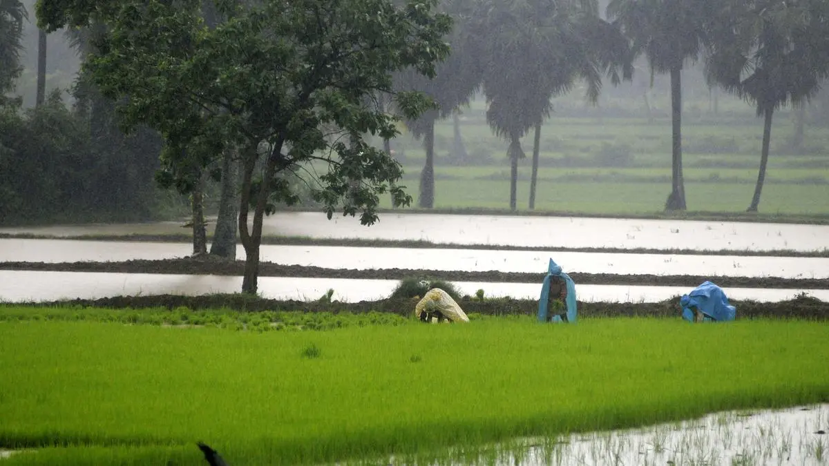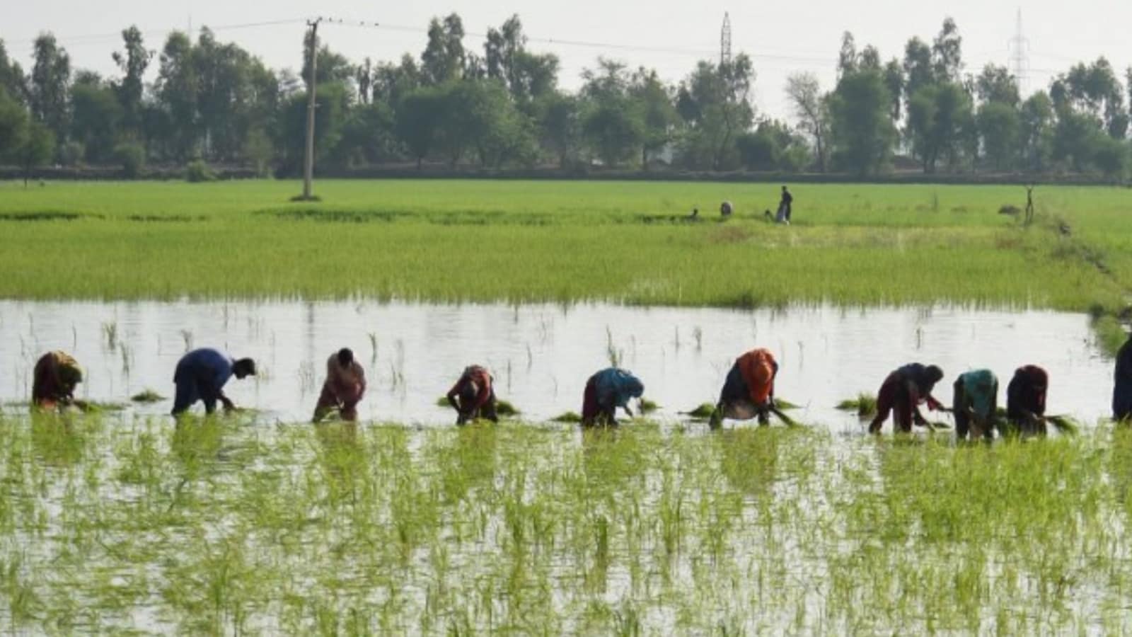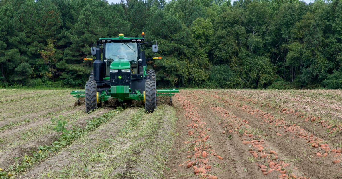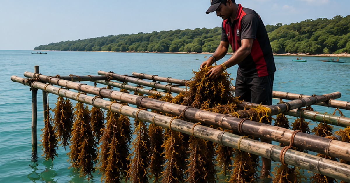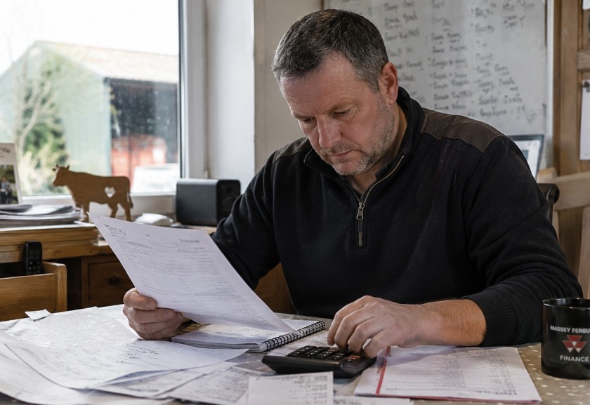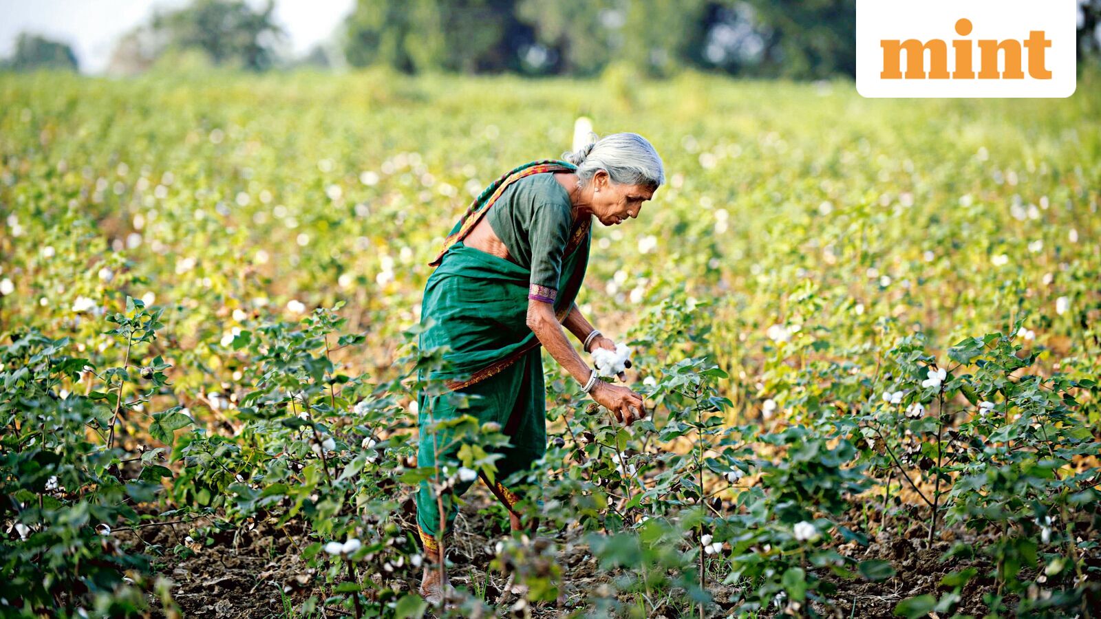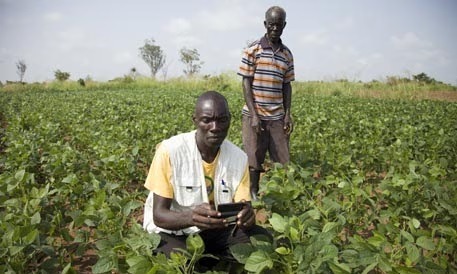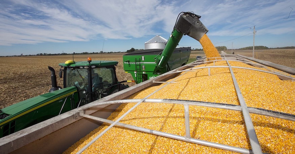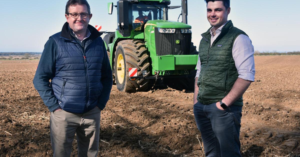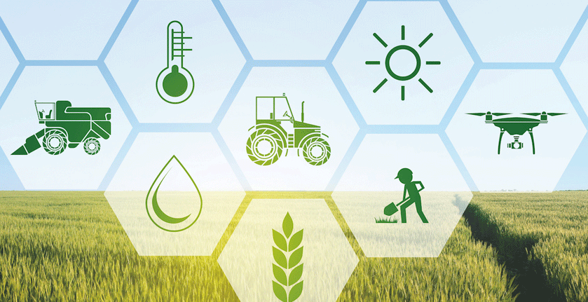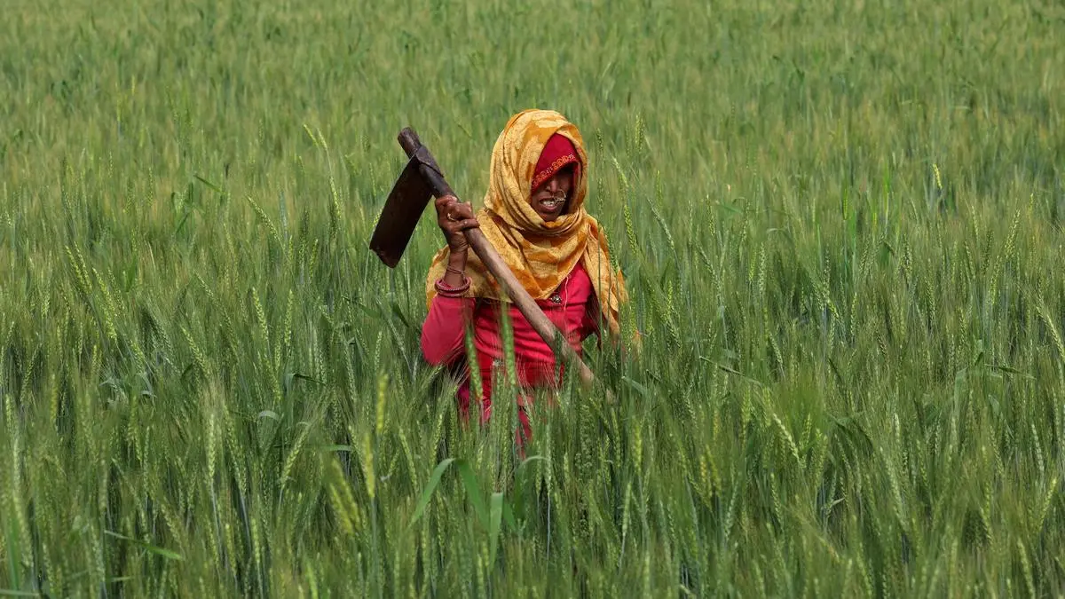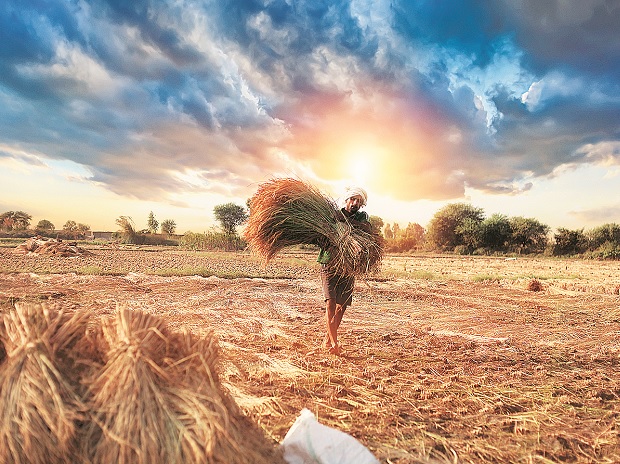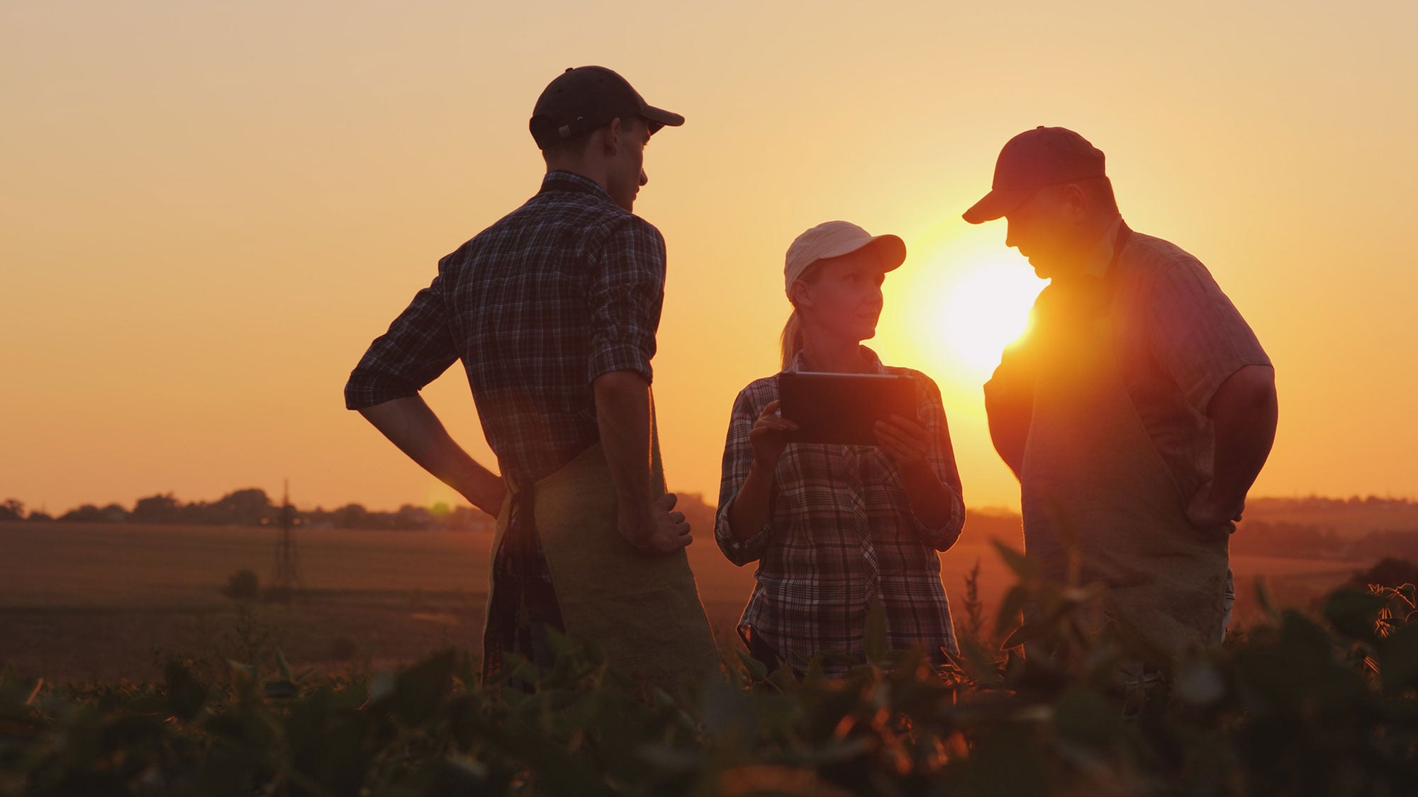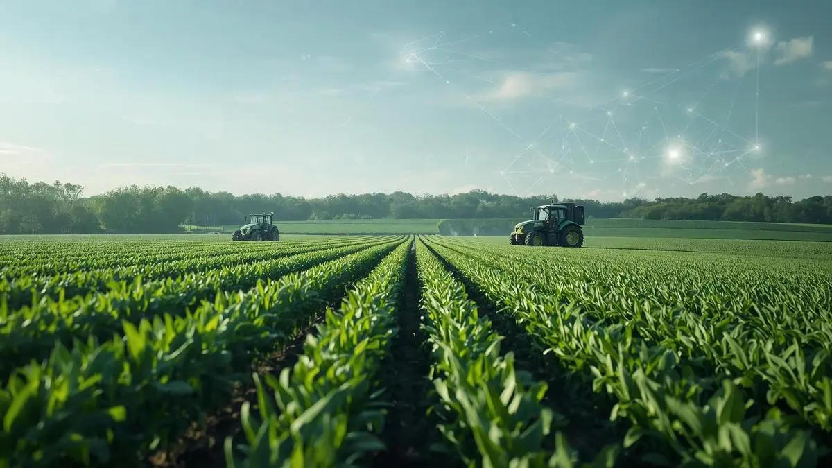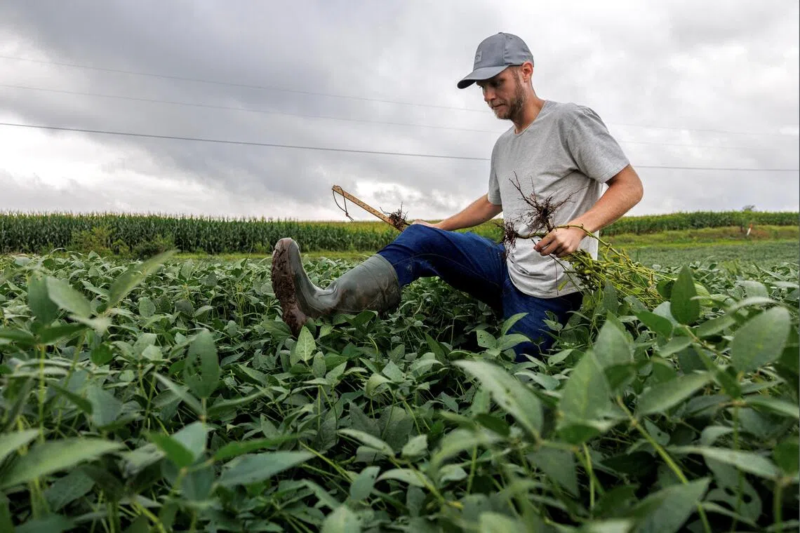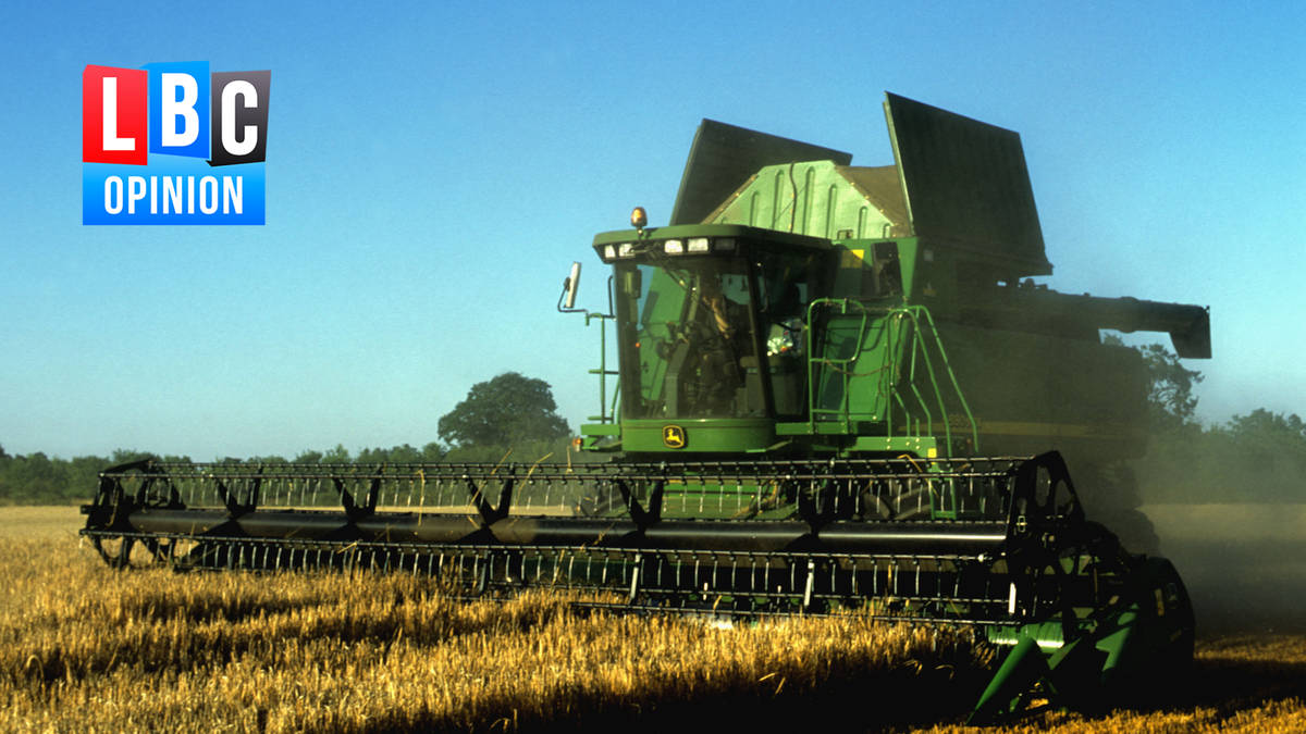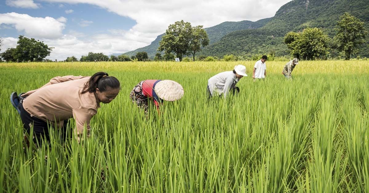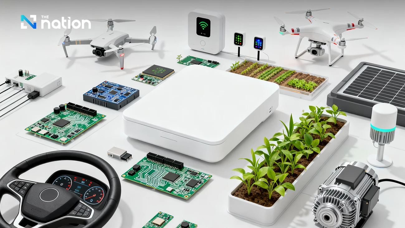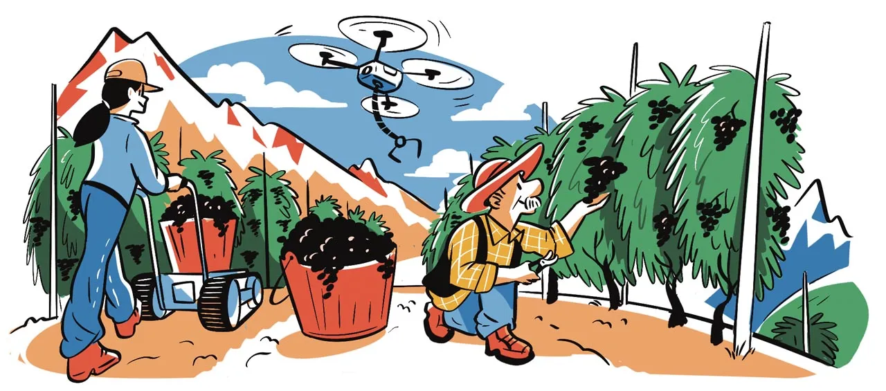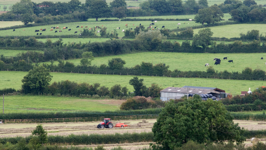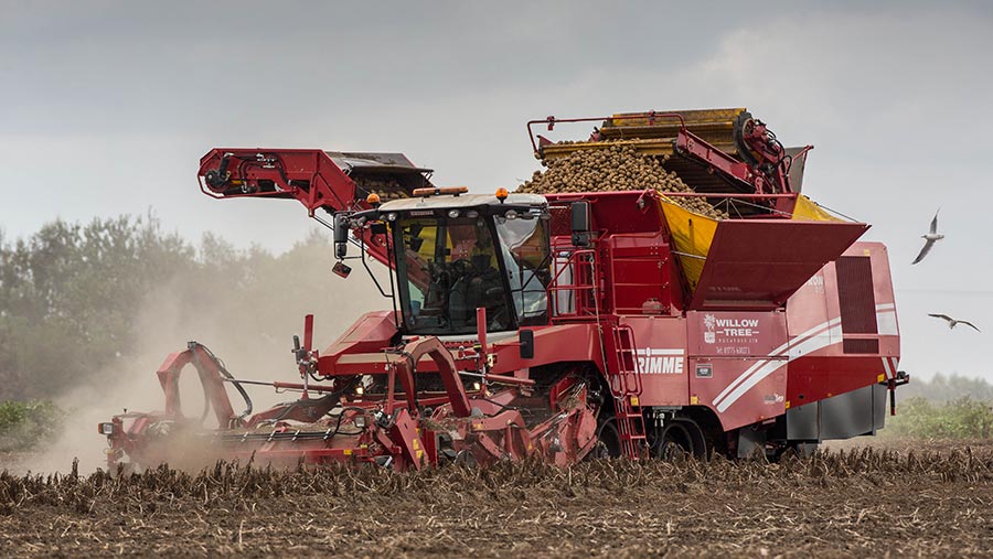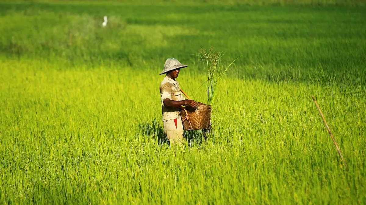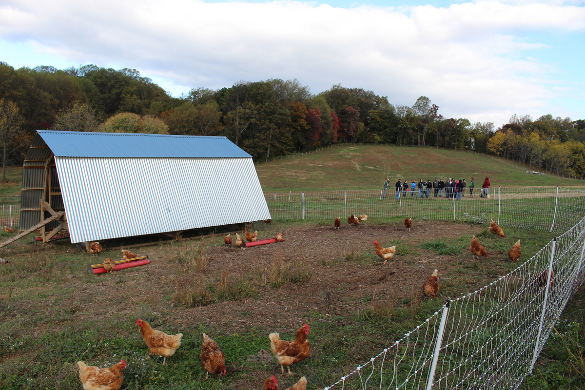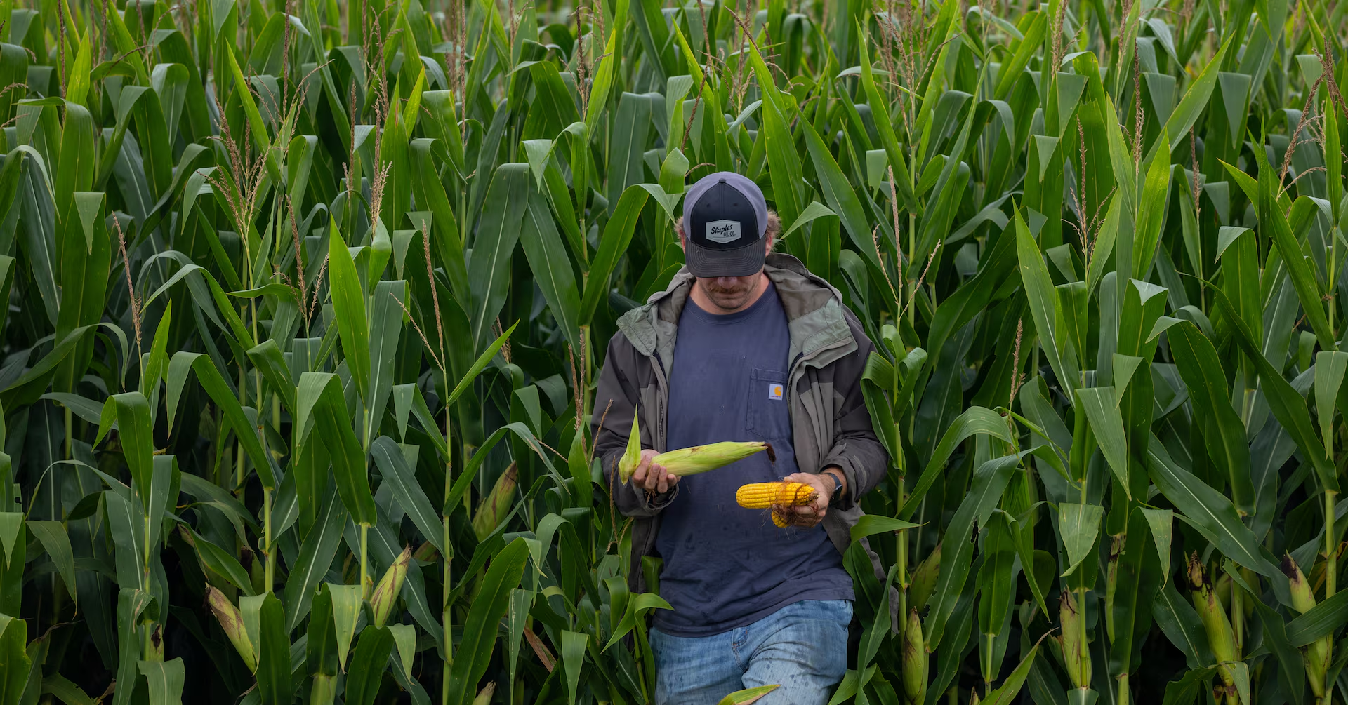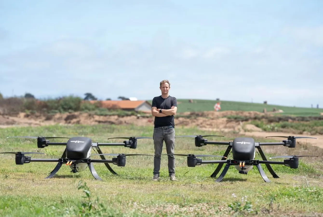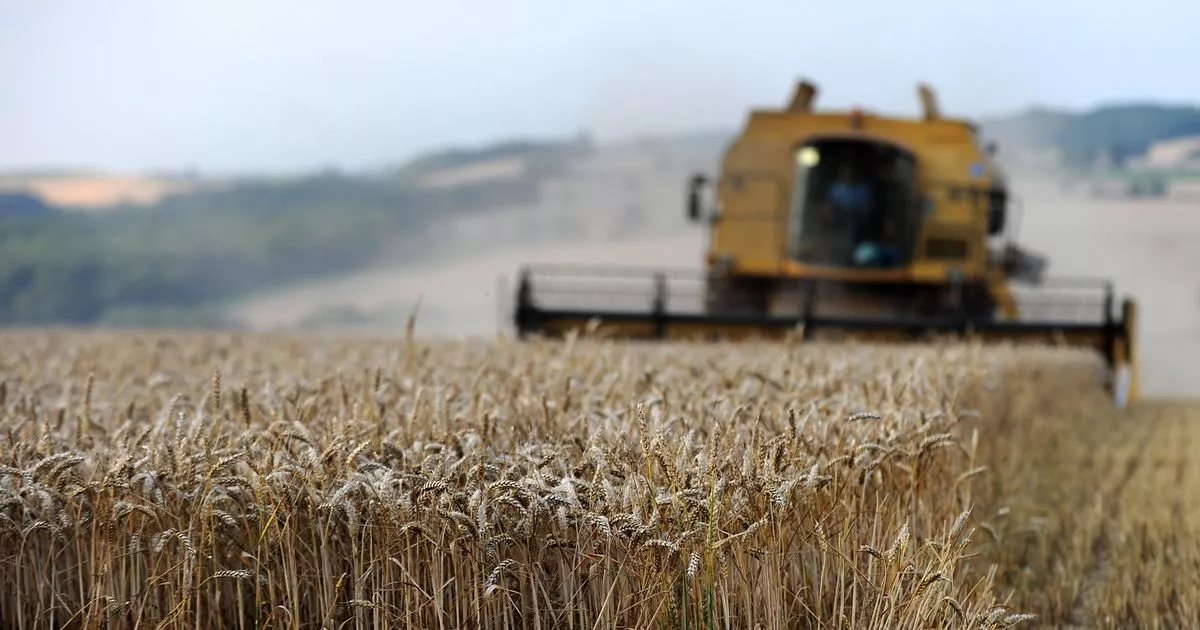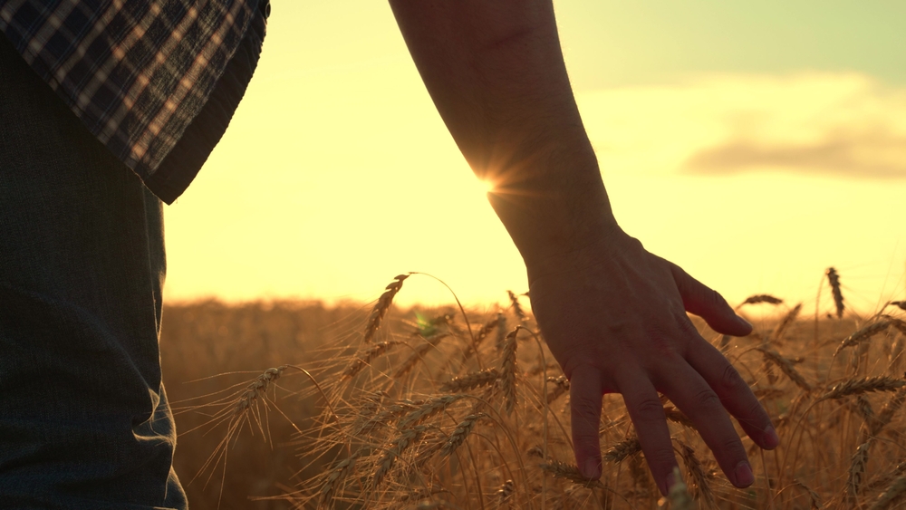
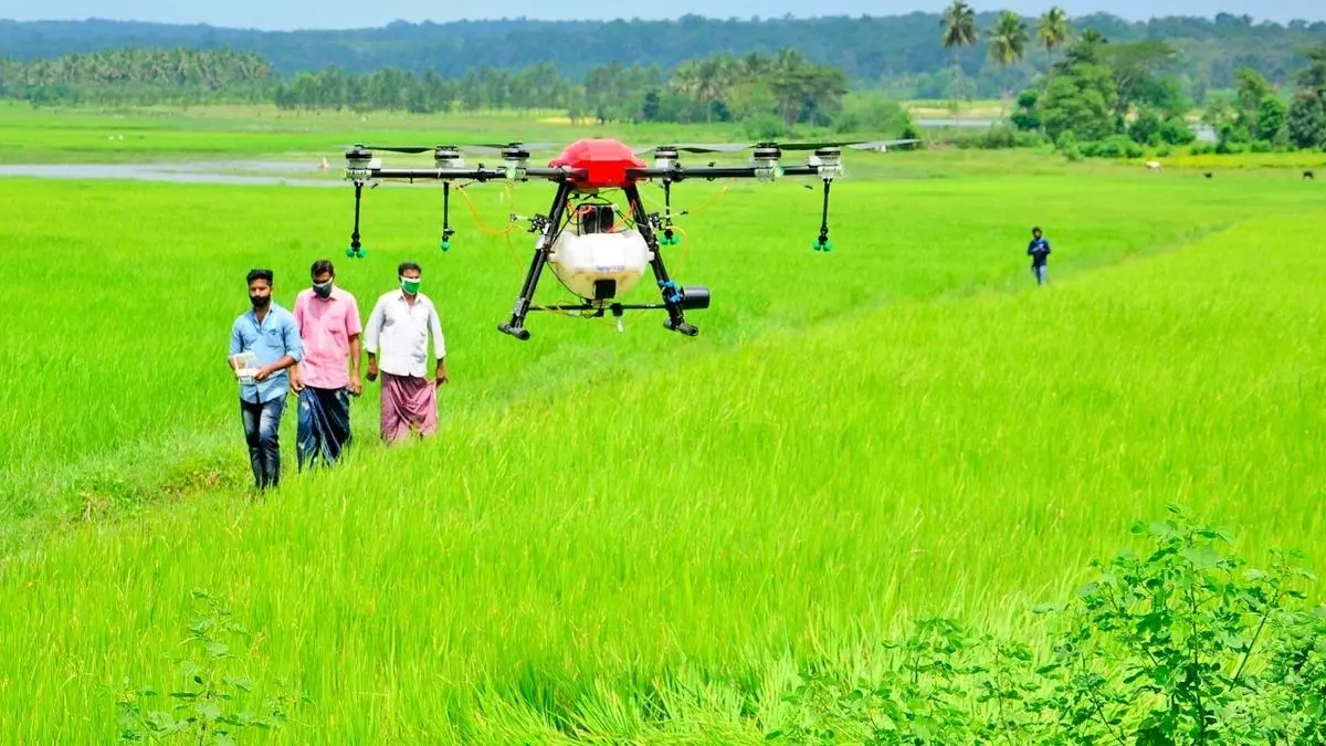
A farmer can usually tell when a crop is in trouble, but often only when the damage is visible. By the time yellowing shows up across a patch or pests are clearly spreading, the problem has already had time to grow. That delay is exactly what drones are helping reduce. A recent government update on India’s drone ecosystem noted that as of February 2026, there were 38,500-plus registered drones, 39,890 DGCA-certified remote pilots, and 244 approved training organisations. These numbers matter because precision farming cannot scale if drones remain a niche tool with limited trained operators.
From “spray the whole field” to “treat the exact patch”
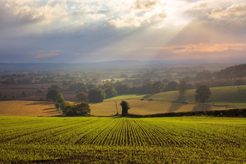
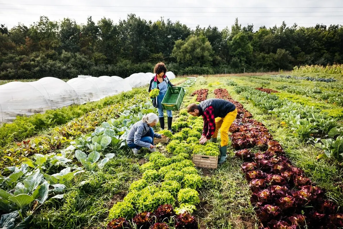
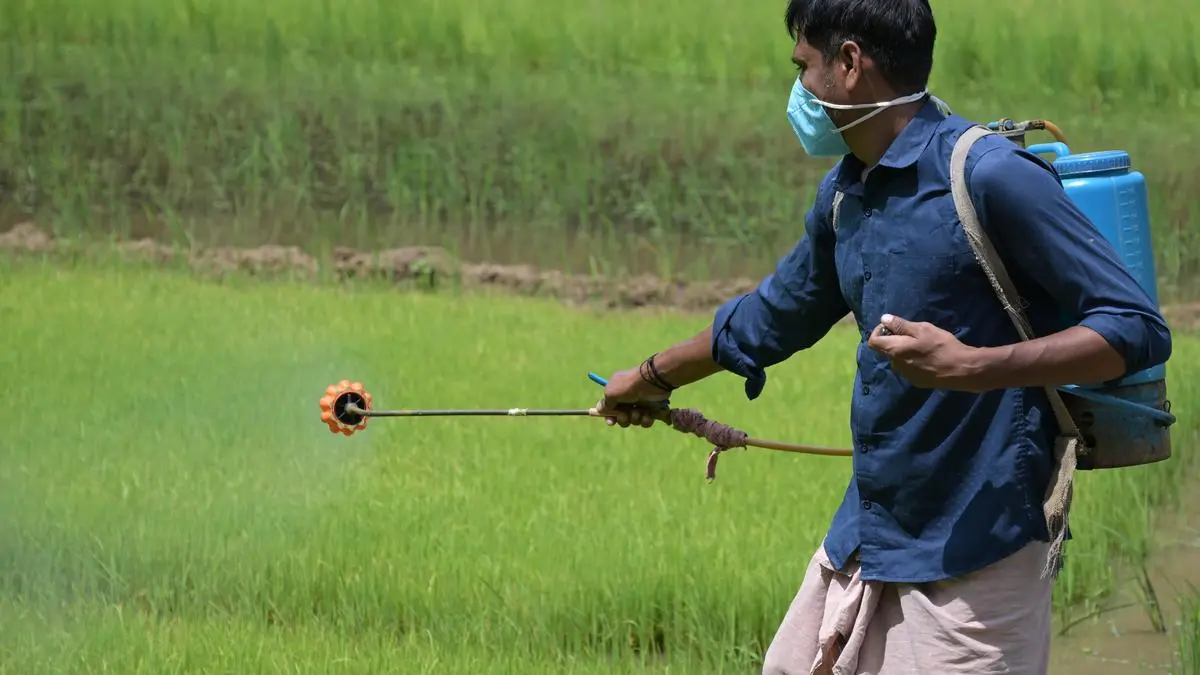
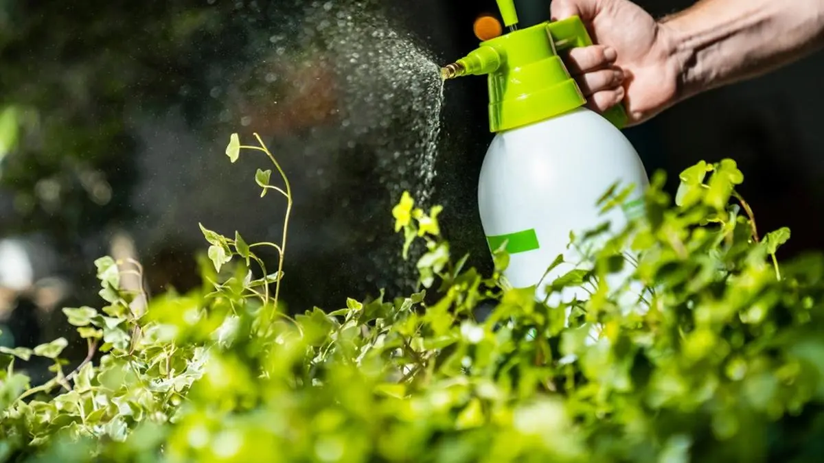
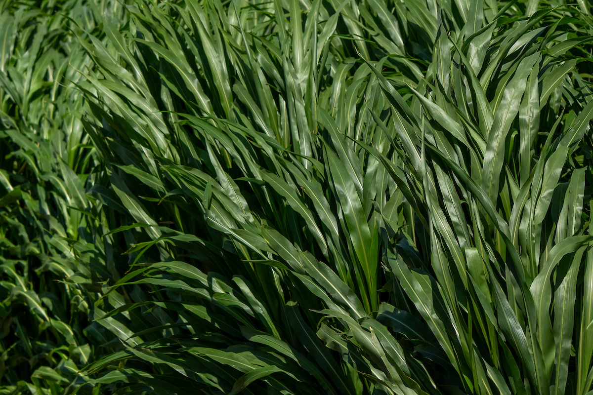
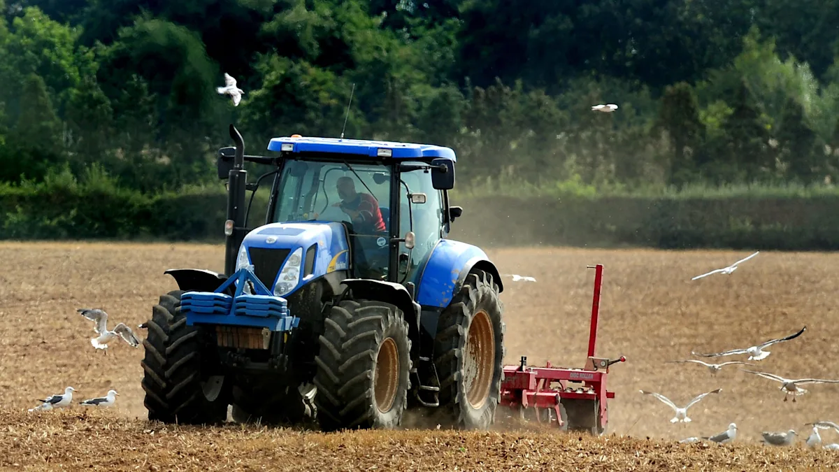
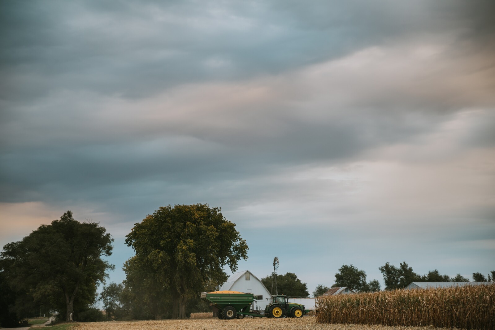
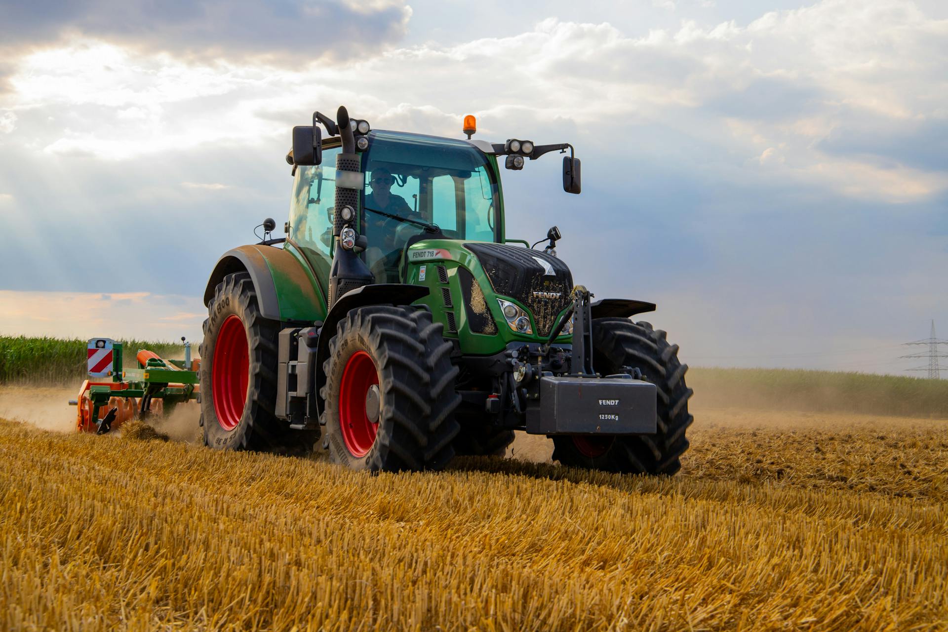
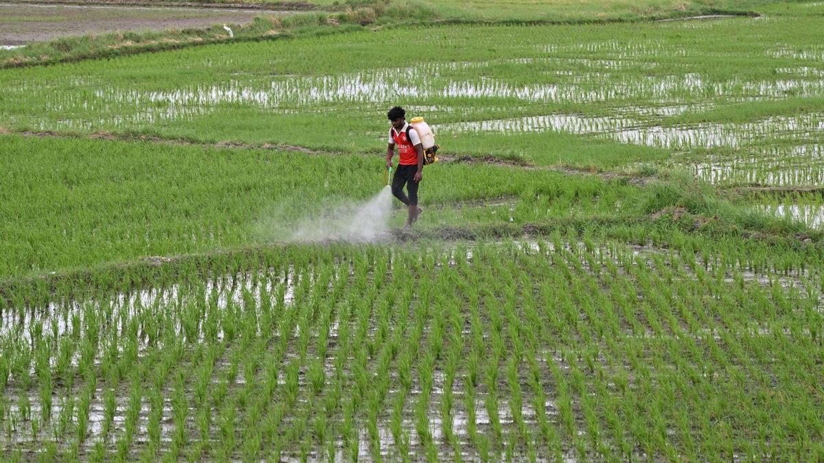
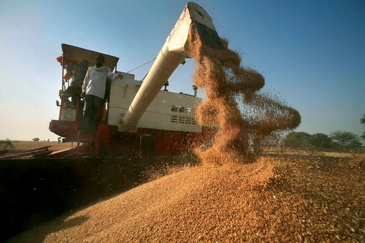
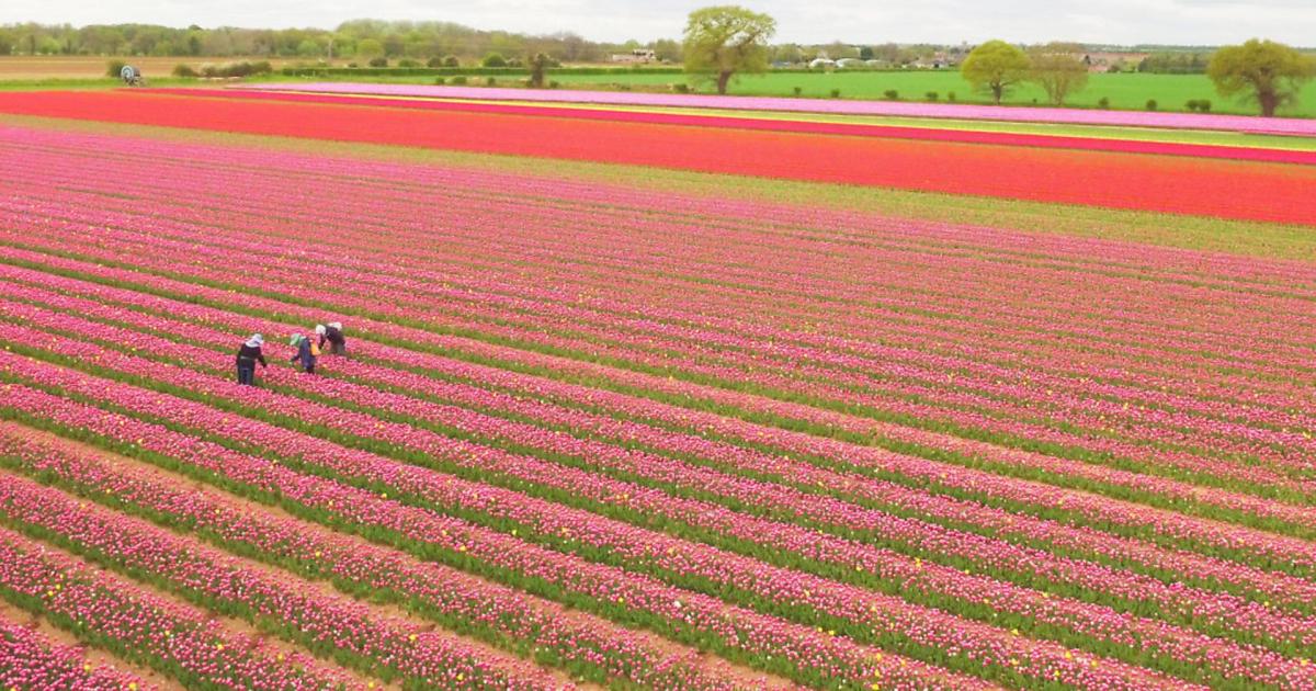
Traditional crop management often relies on broad actions. Spray the whole field. Add fertilizer across the entire plot. Increase irrigation everywhere. These methods are not always wrong, but they are expensive and inefficient when the problem is local.
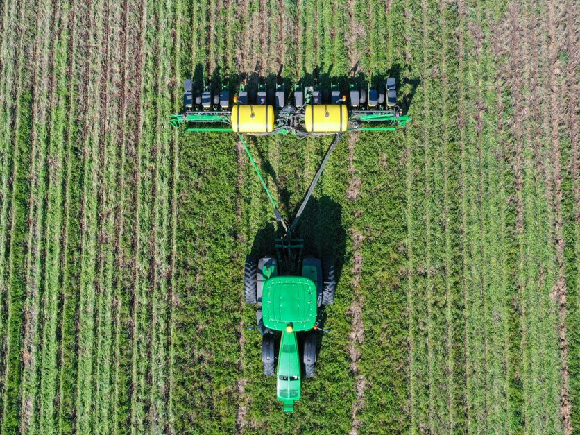
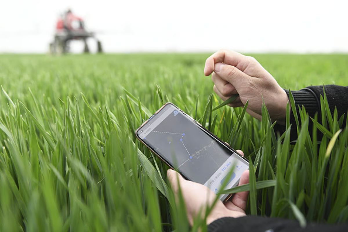
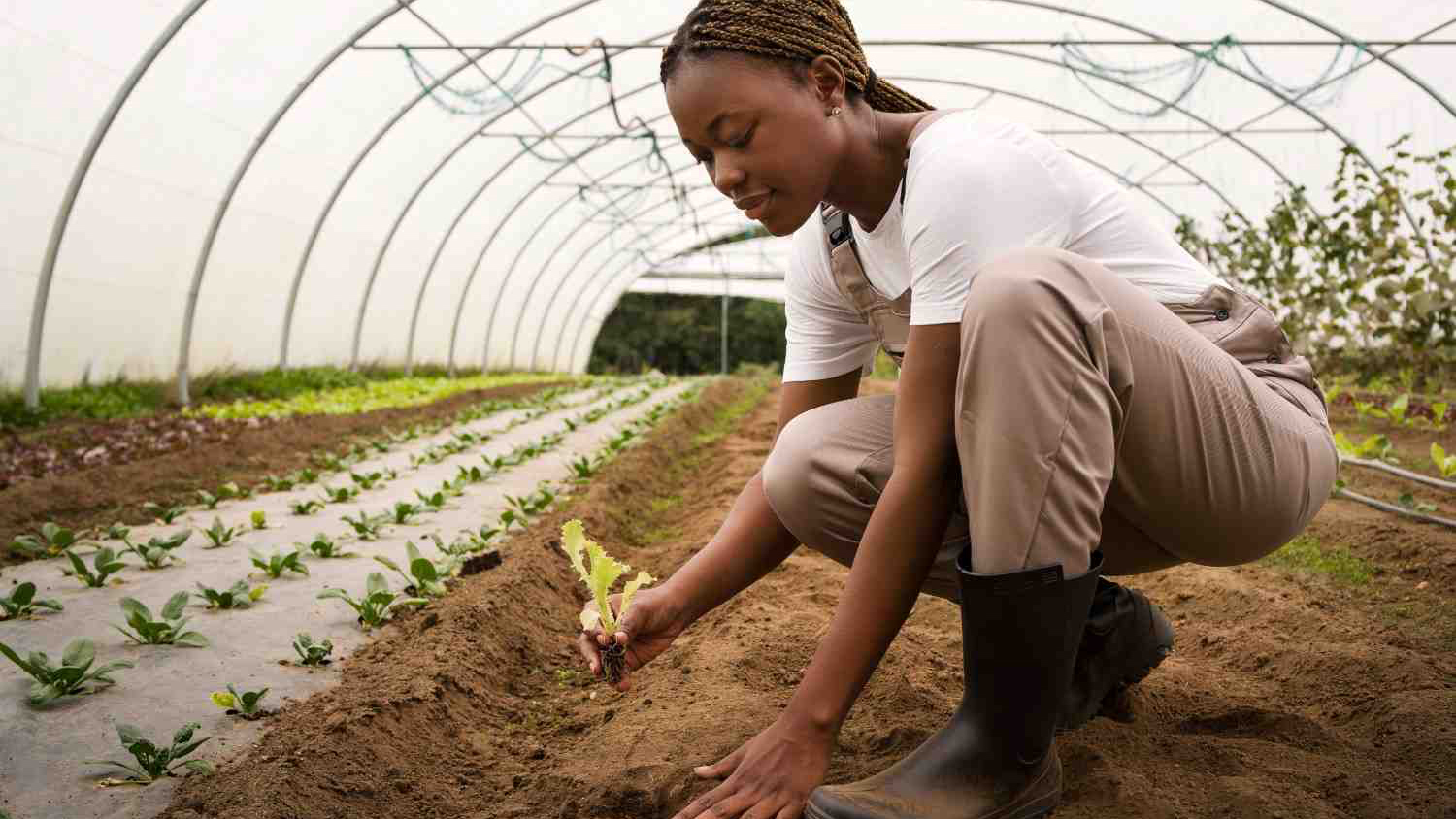
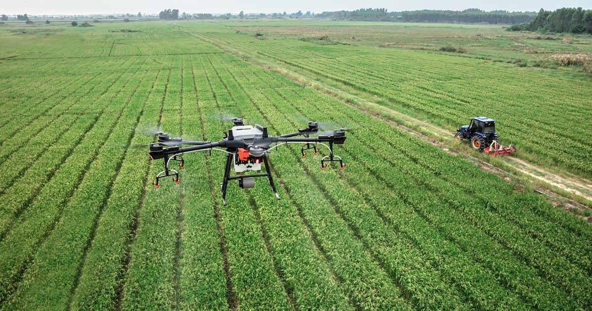
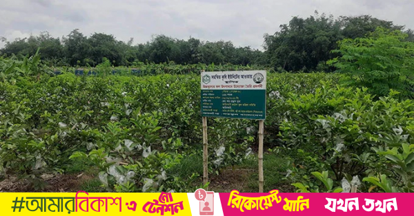
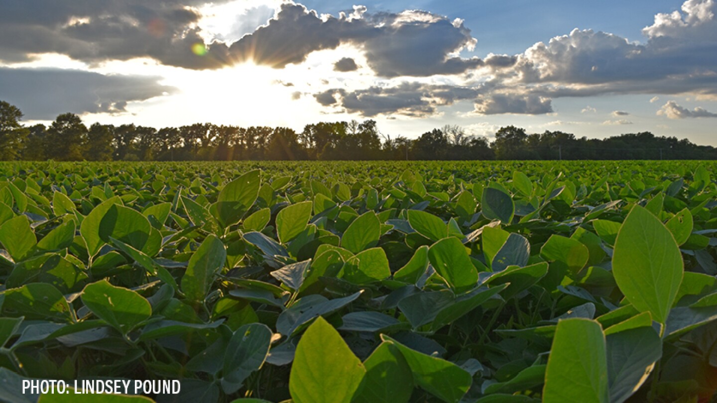
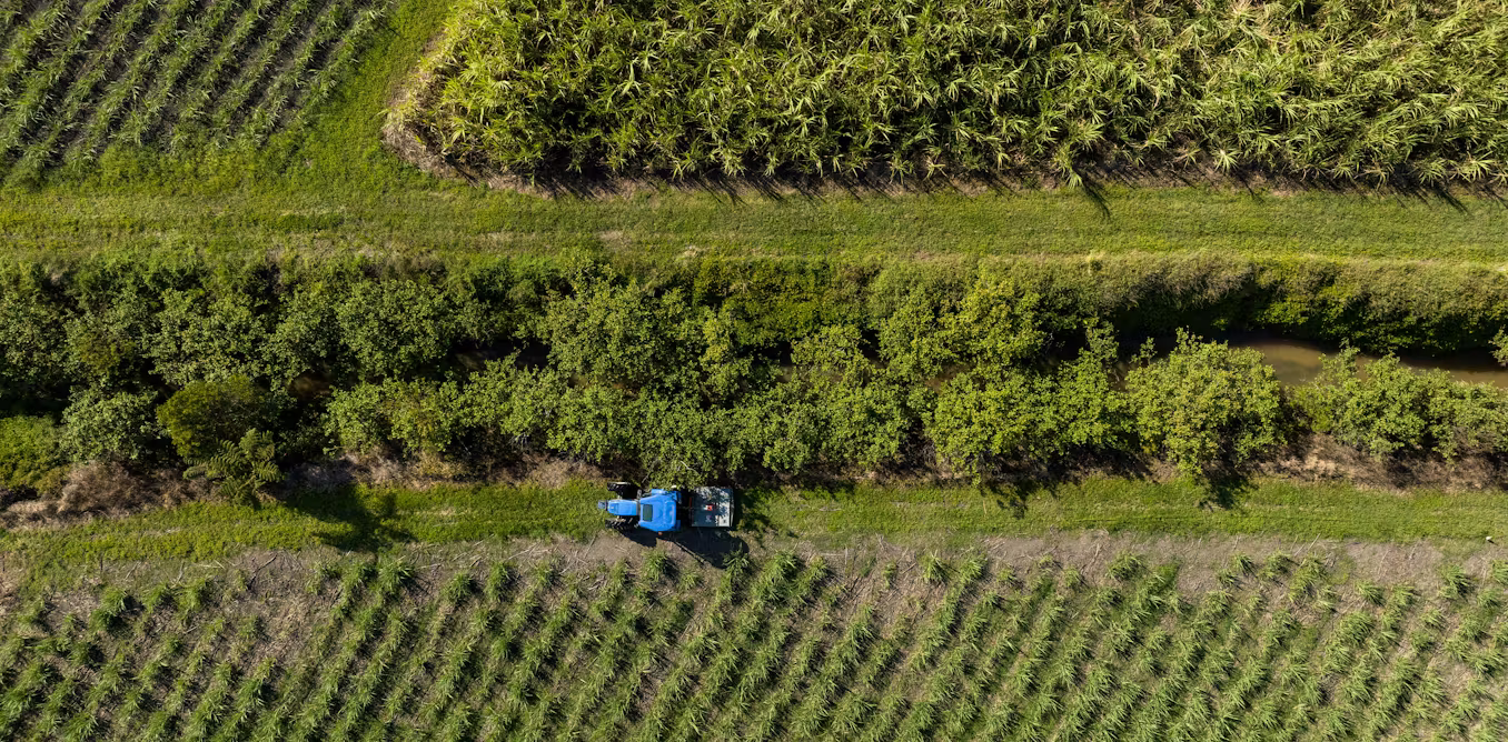
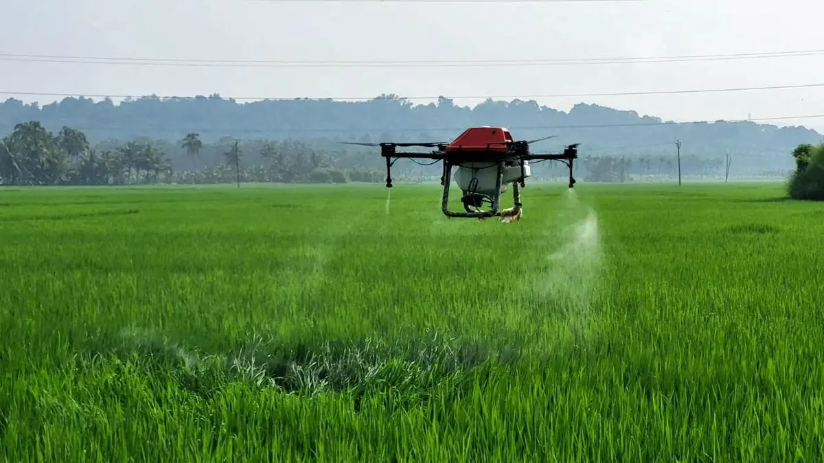
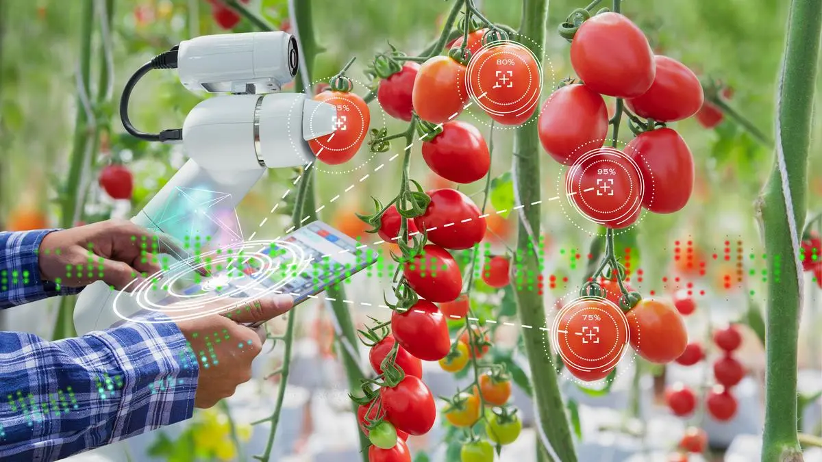
Drone mapping makes it possible to pinpoint stress. Aerial images can highlight areas where crop vigor is dropping, where water is stagnating, or where pest activity is emerging. Instead of guessing, a farmer or agronomist can act based on visible patterns. This is what hyper-precise management looks like. You do less, but you do it in the right place.
Real-time decisions in a country with massive field diversity
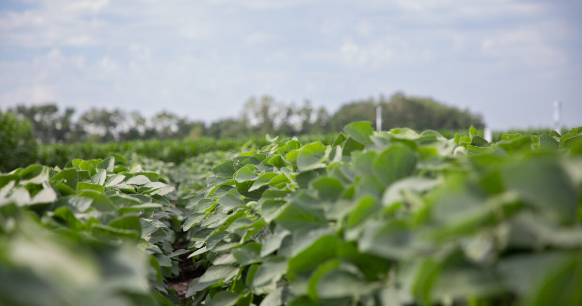
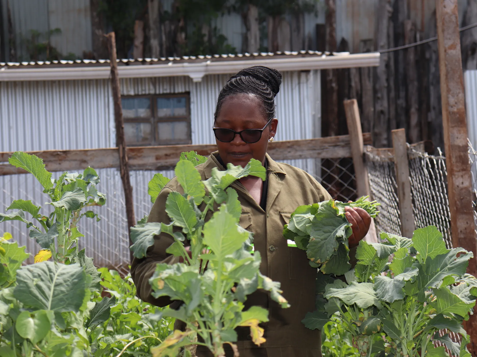
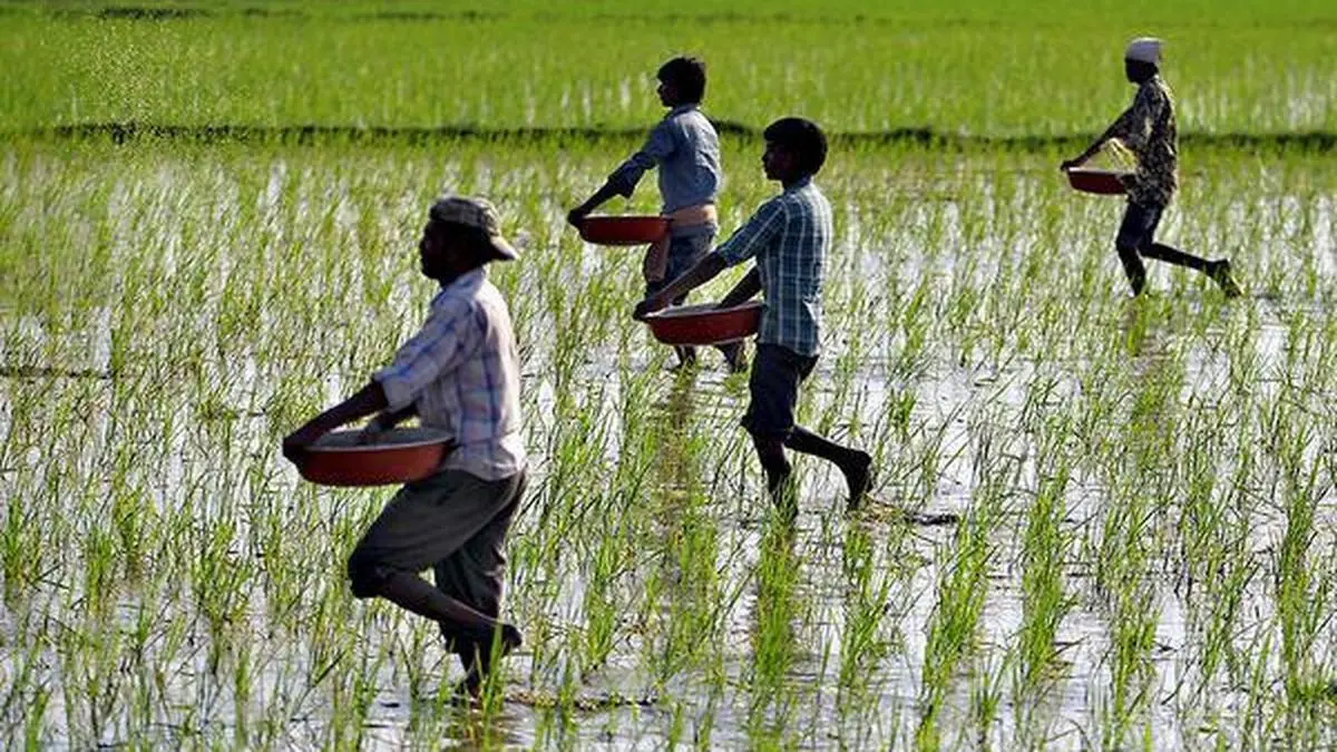
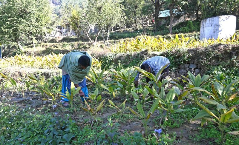
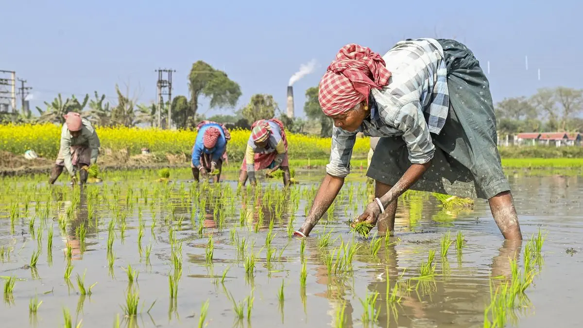
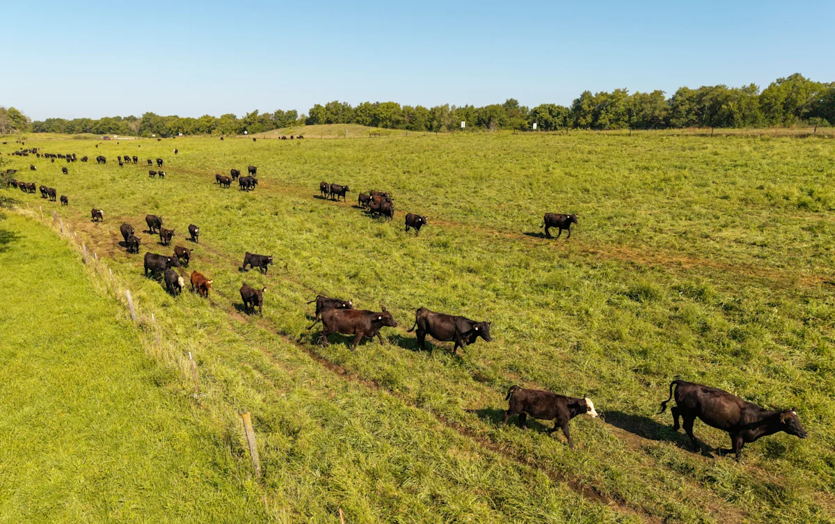
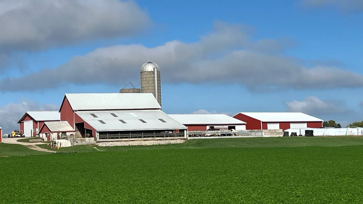
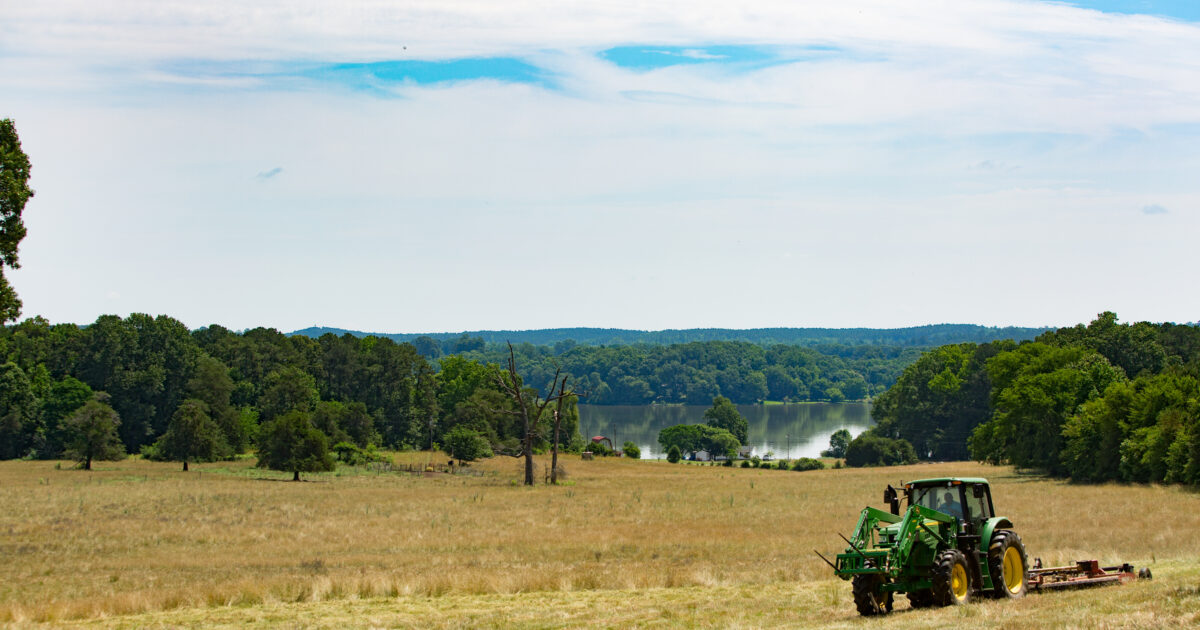
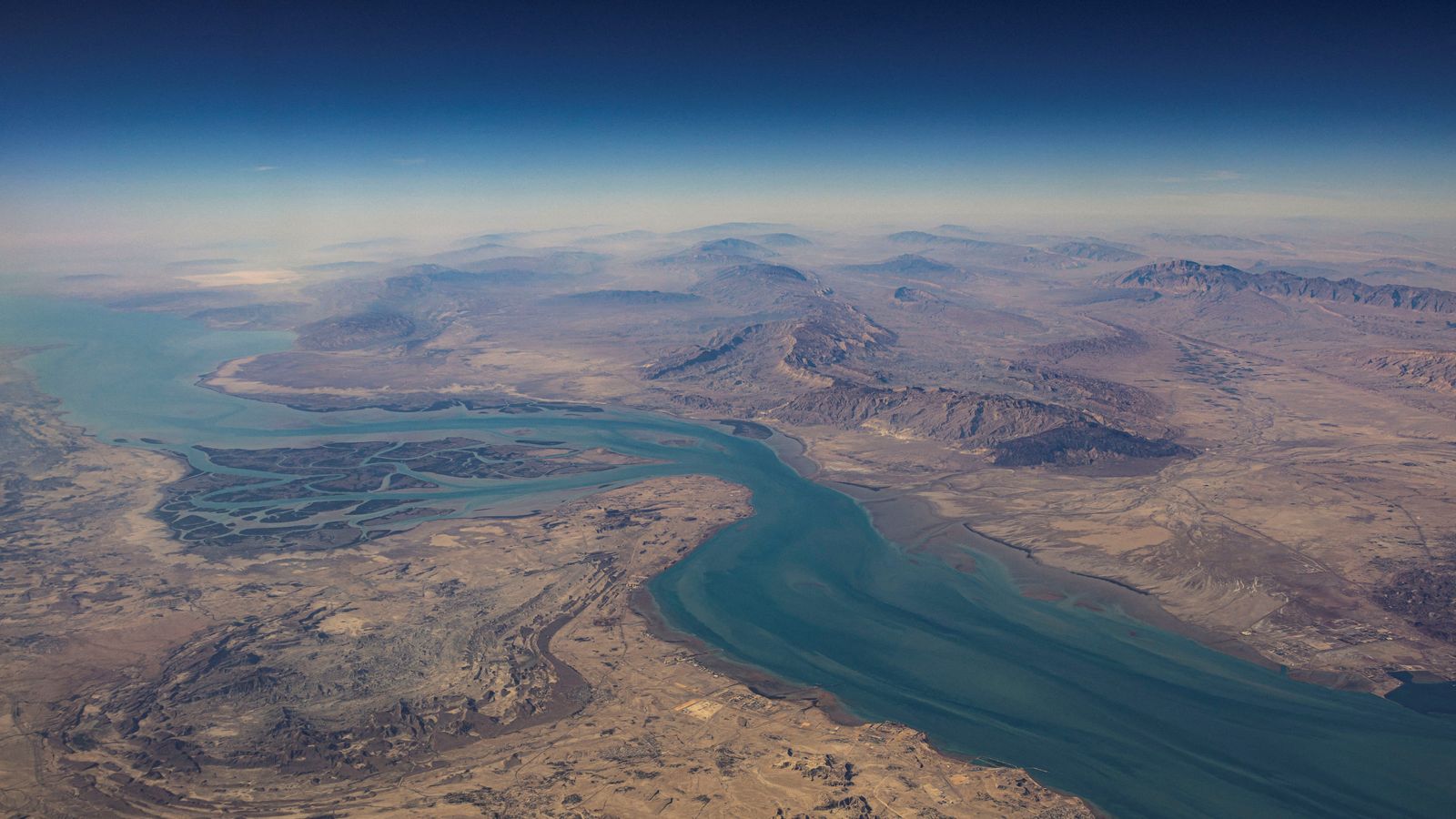
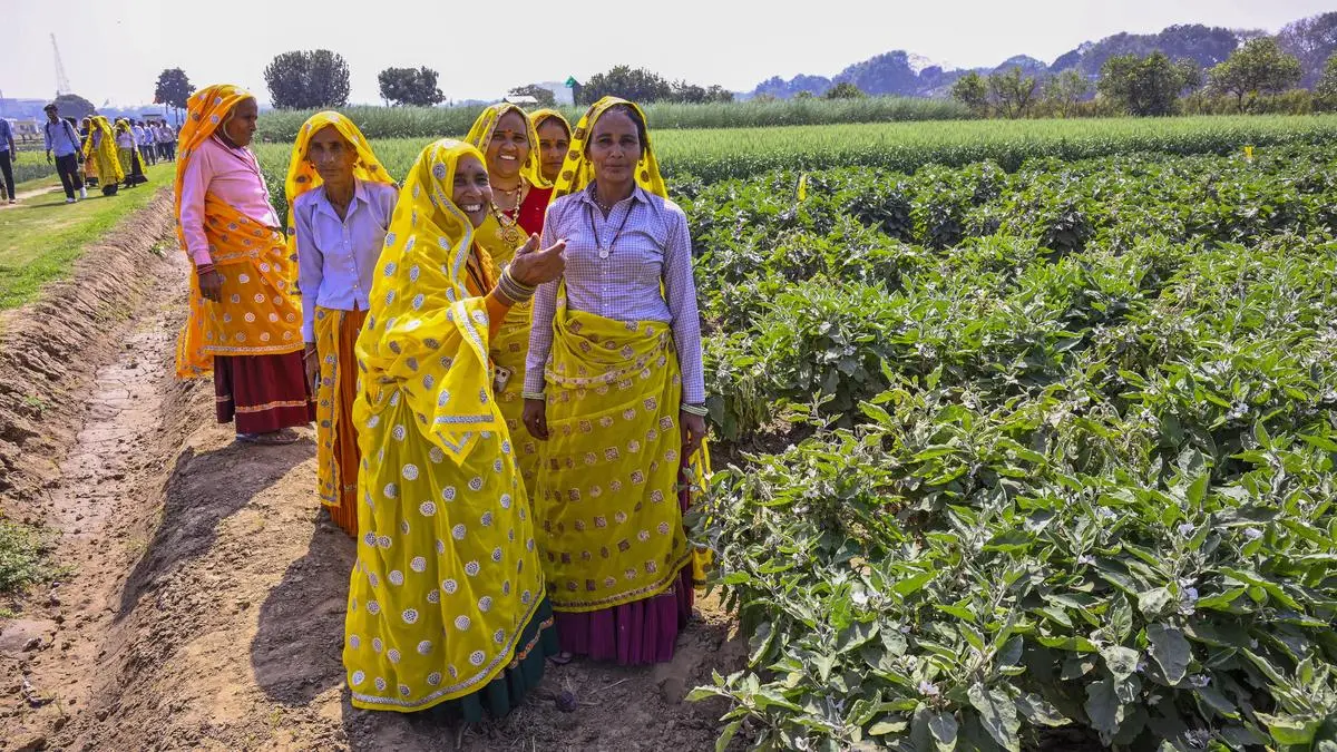
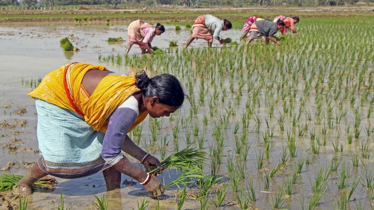
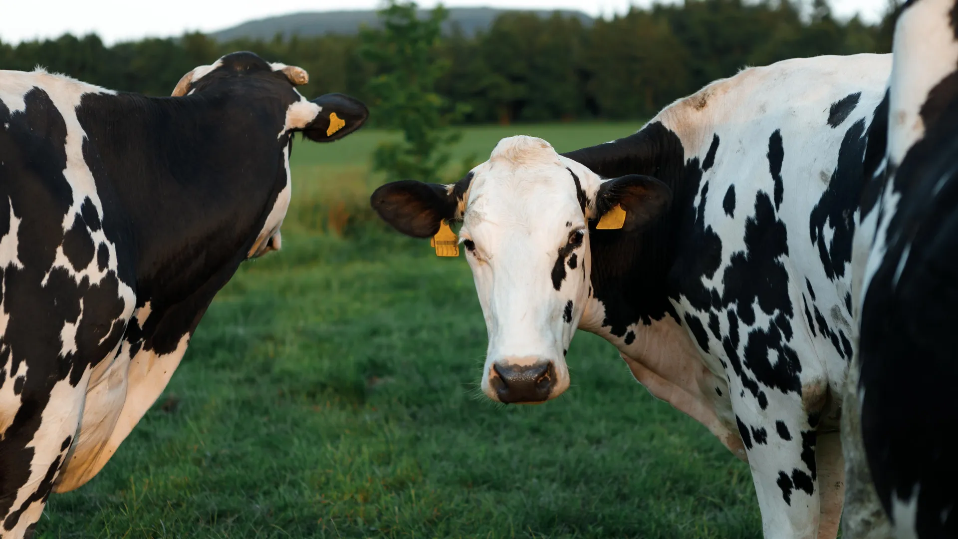
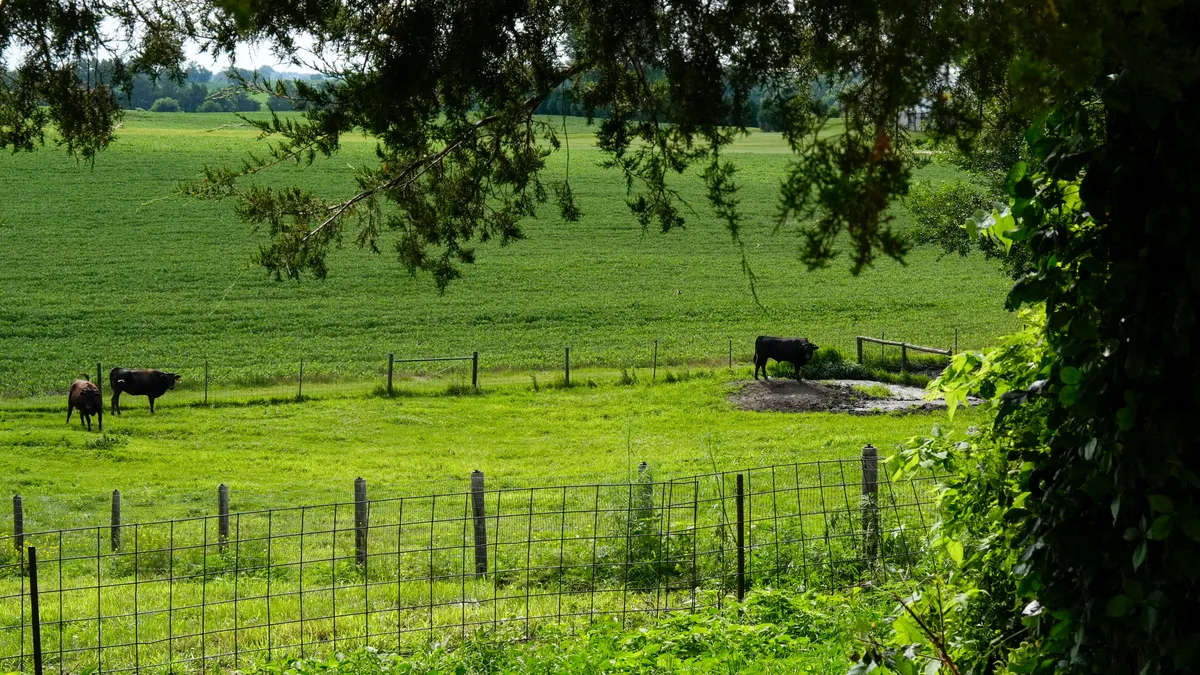
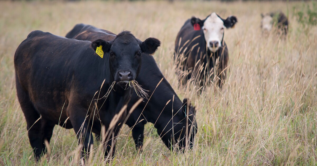
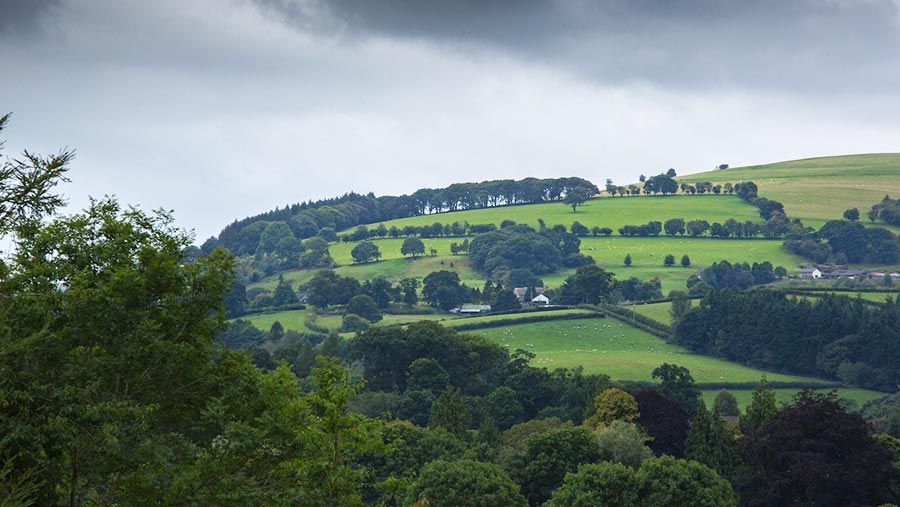
Indian farming is not uniform. Crops vary by district, and even within one village, field conditions can vary sharply. Two neighboring plots can have different soil health, irrigation access, and pest pressure. That diversity makes one-size solutions weak.
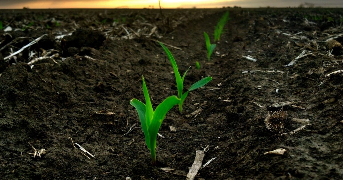
Drone data adds a missing layer between satellite monitoring and ground inspection. Satellites are great for seeing the big picture across districts, but drones can show what is happening inside one specific field. They help farmers spot issues without walking the entire farm row by row. This becomes even more useful during key stages like early growth, flowering, and grain filling, when a small problem in one patch can quickly turn into a larger loss. Drone scans during these periods can support quicker corrective decisions.
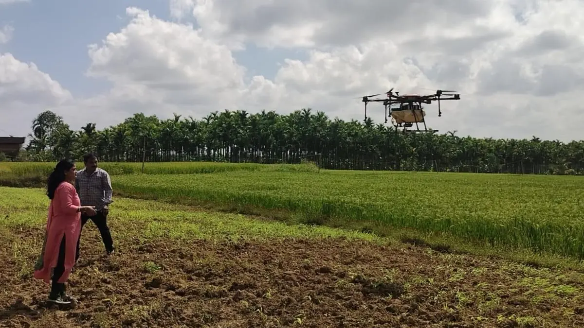
Drones are also changing how services reach small farmers
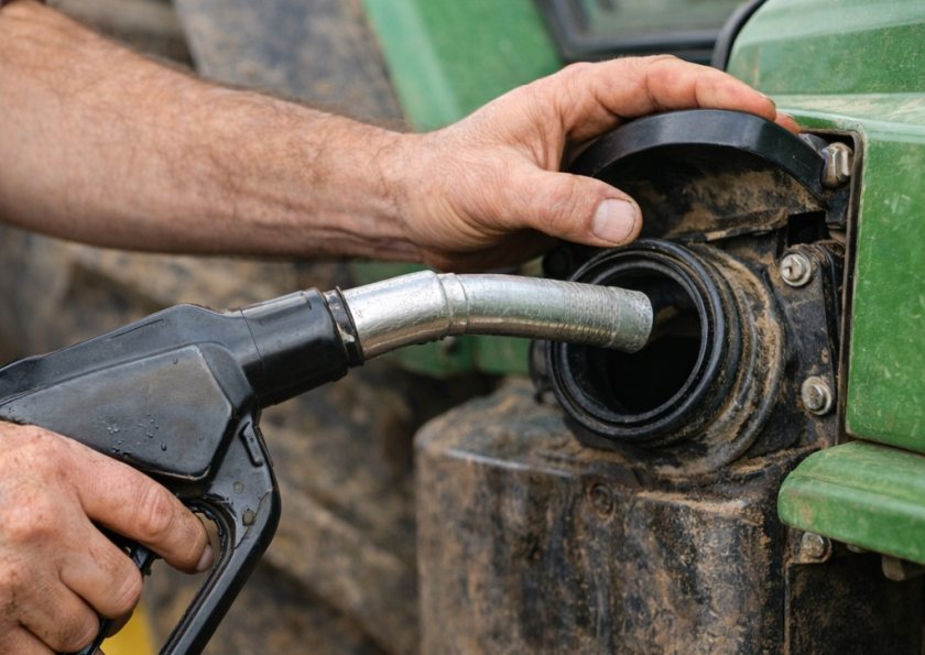
In India, adoption often scales through services rather than ownership. Most farmers will not buy a drone themselves, and they do not need to. What matters is access. Local drone operators can provide spraying and mapping as a service when the farmer needs it. This is why community models are important.
This model matters for precision agriculture because it reduces the entry barrier. A farmer does not need to invest in equipment. They only need access to the service when it is required, whether it is spraying, scouting, or crop health mapping.
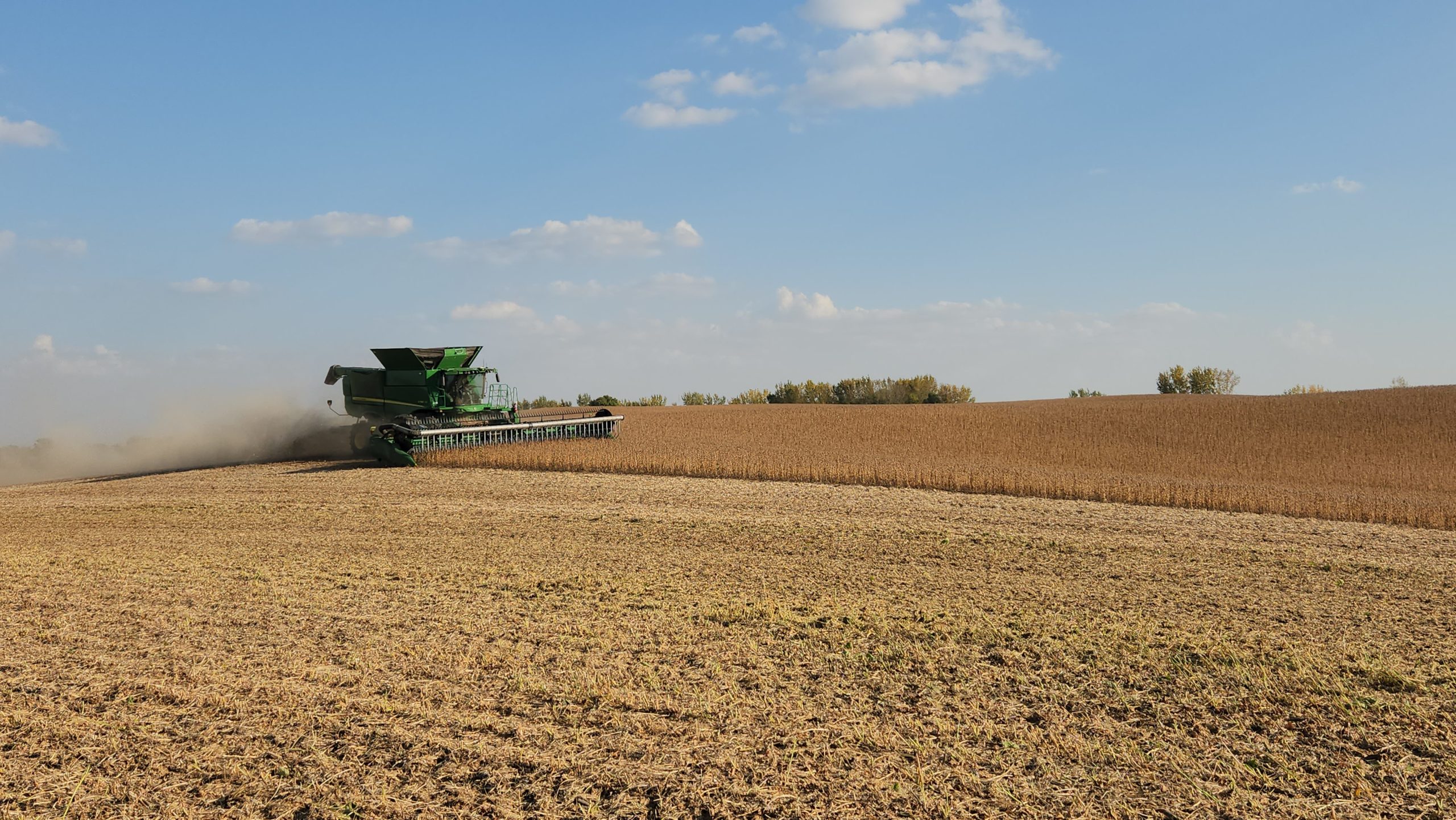
Better crop assessment and faster response
Aerial data is also becoming relevant beyond day-to-day crop care. Crop loss assessment, especially after floods, hailstorms, or pest outbreaks, often suffers from delays and disputes. Technology is increasingly being used to make assessments more objective and quicker.
India’s crop insurance framework has long included the use of remote sensing and UAVs for applications like crop area estimation and loss assessment. More recently, Parliament-linked documents have pointed to newer steps toward objective crop damage assessment and technology-led claim settlement improvements.
What still needs to improve
Despite momentum, drone-led farming will not scale on technology alone. Three things matter. First and foremost, there’s the matter of training and safety. Flying drones on farms is not as simple as buying a machine and taking off. Operators need proper training, clear permissions, and safe flying habits, especially near houses, roads, trees, and power lines. The rise in DGCA-certified pilots and training centers is a good start, but if drones are to become common on farms, we will need many more skilled people on the ground.
Second, farm-level workflows. Data is only useful if it becomes an action plan. Farmers need simple outputs: where to spray, how much, and when. Precision maps must translate into field instructions, not just colorful visuals.
Third, affordability and availability. For many regions, drones will remain a service model. That means building strong local networks of operators, reliable equipment maintenance, and trust in the results.
The next phase of precision farming
Drone-powered farming is not about replacing the farmer’s judgment. It is about strengthening it with better visibility. Aerial data helps farmers see patterns early, act locally instead of broadly, and reduce waste in inputs.In a country where farm conditions shift rapidly and fields vary widely, that kind of precision is not a luxury. It is a practical advantage.
The author is Practice Head, Agritech Division at [x]cube LABS
Published on April 18, 2026